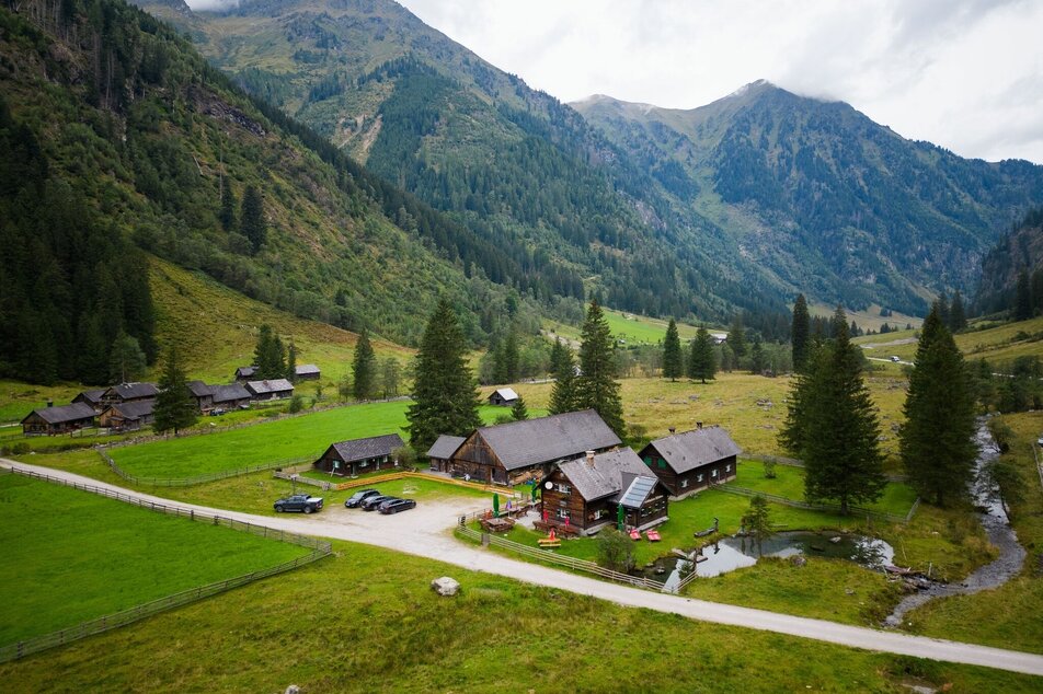
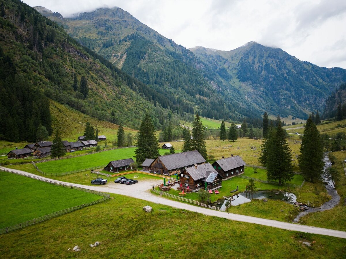
Breitlahnhütte - Rudolf Schober Hütte | Schladminger Tauern Trail: Stage 06
obtížné Hiking · Naturpark Sölktäler
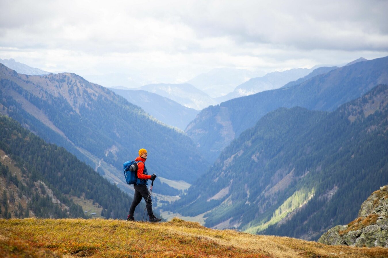
A varied hike, much of which takes place above the tree line in high alpine terrain with steep crossings. With the Rantensee, Hinterkarsee and Wiegensee, there are also some mountain lakes waiting to be discovered on this tour. The 6th stage of the Schladminger Tauern High Trail is relatively long and takes you from the Breitlahnhütte through lonely landscapes to the pine forests around the Rudolf Schober Hütte.
Fotogalerie
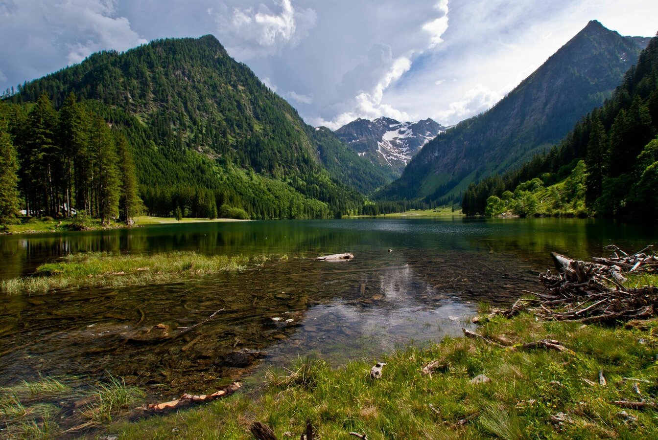
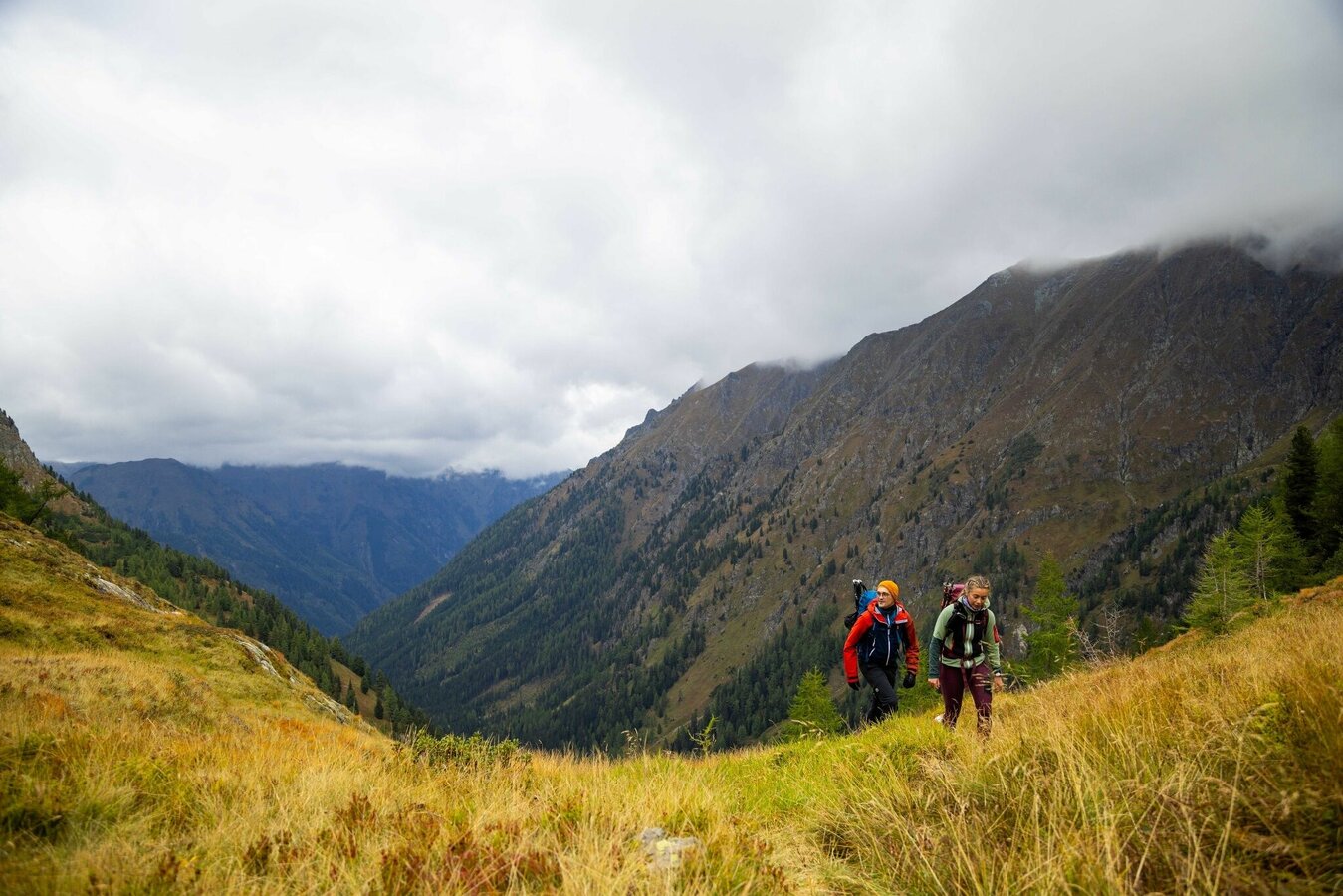
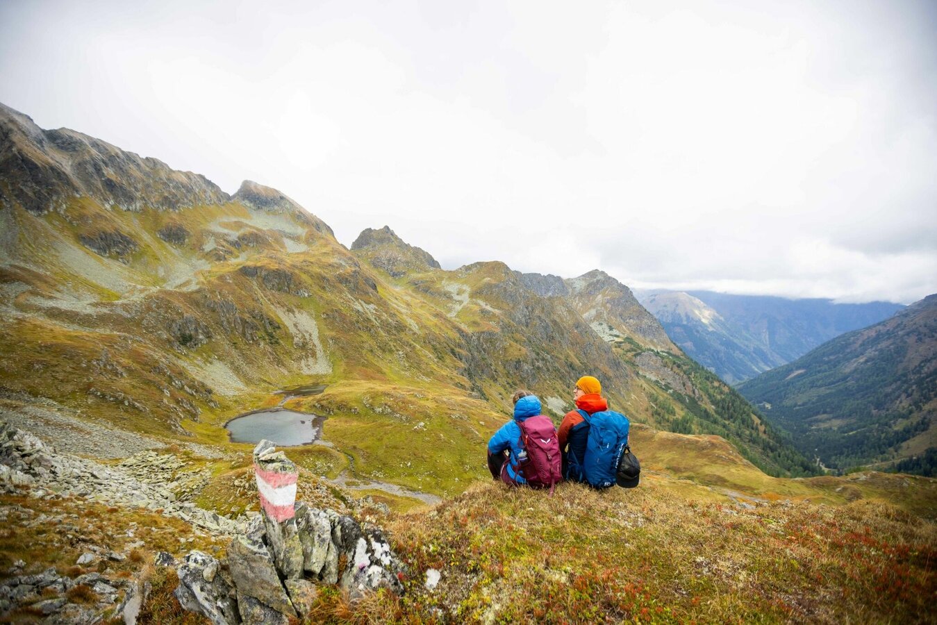
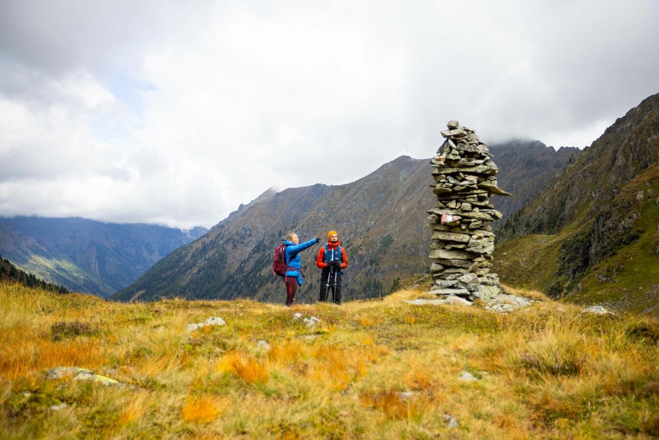
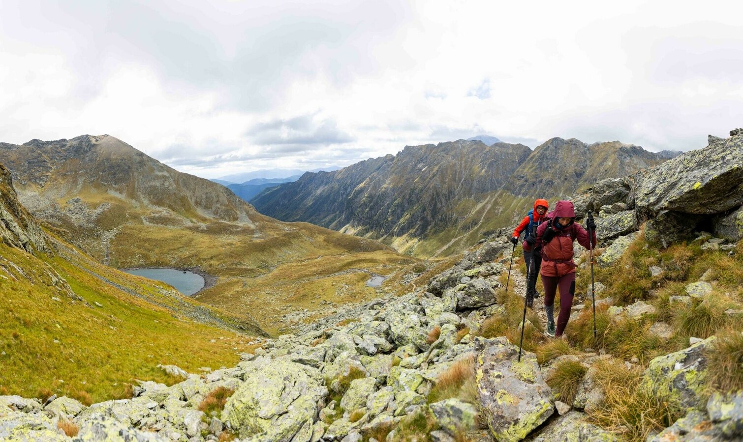
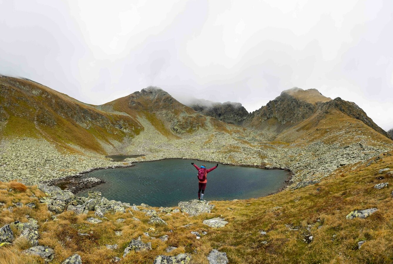
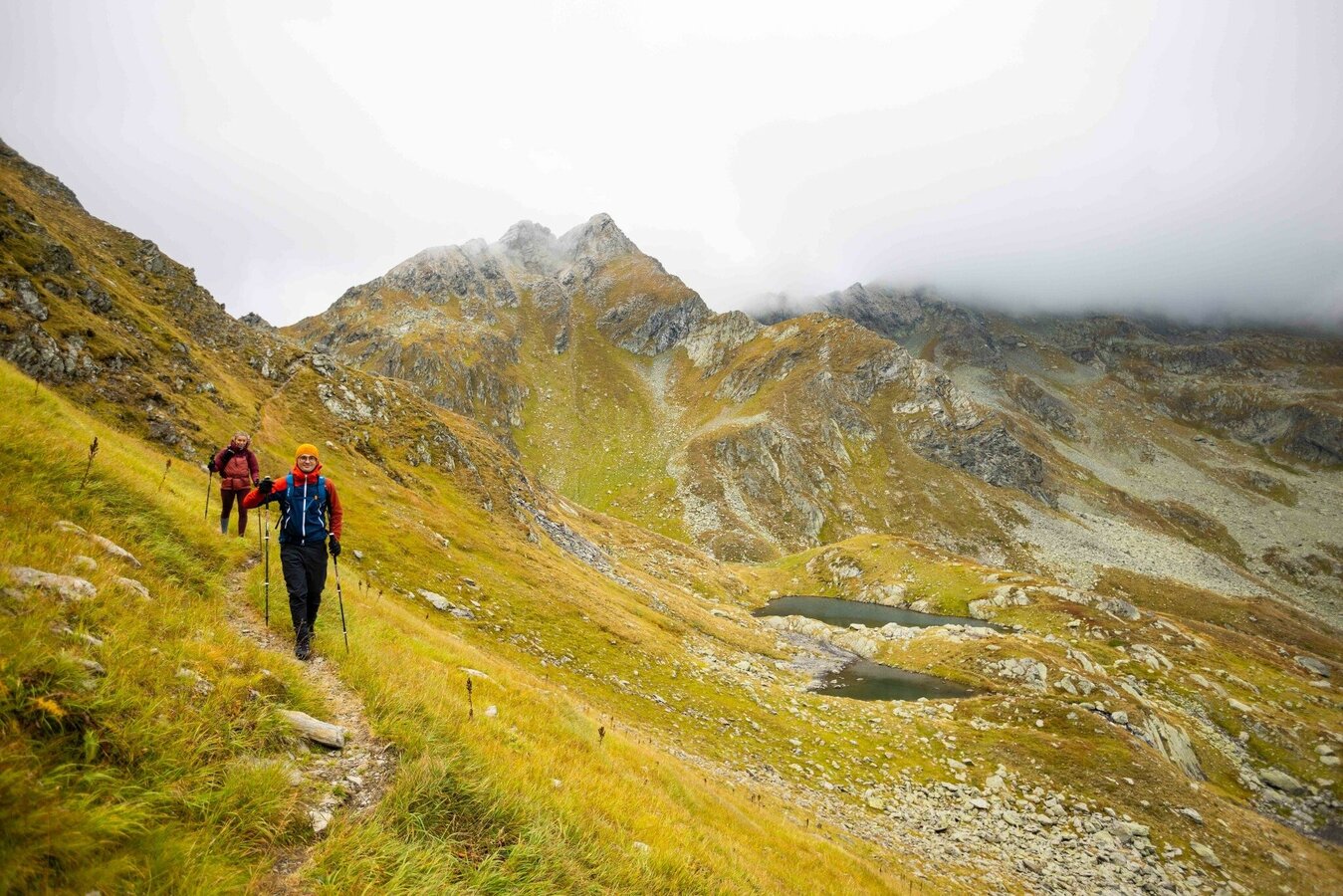
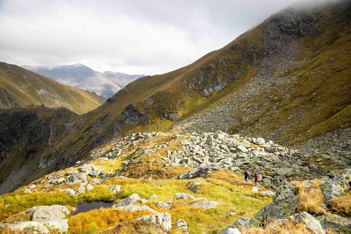
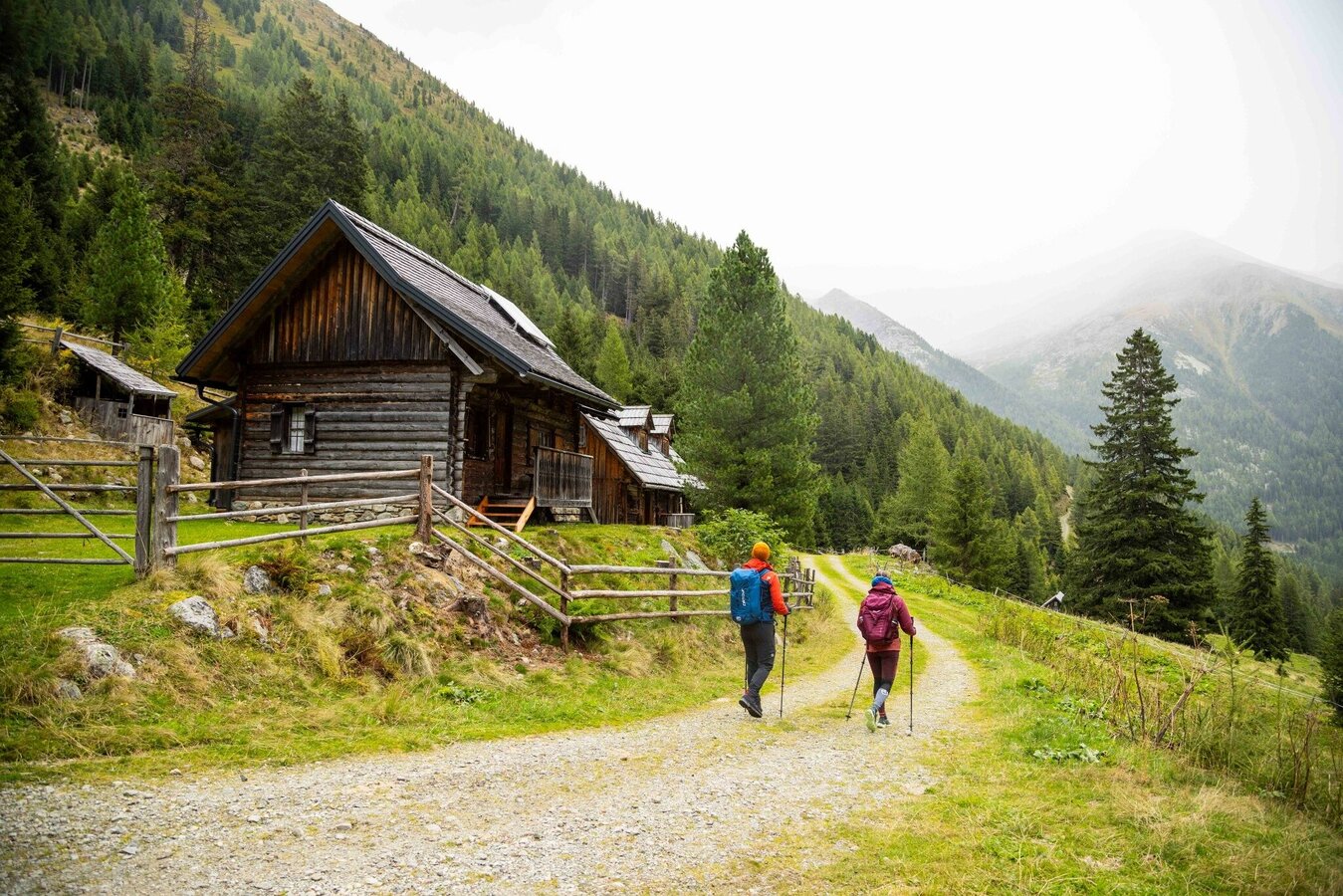
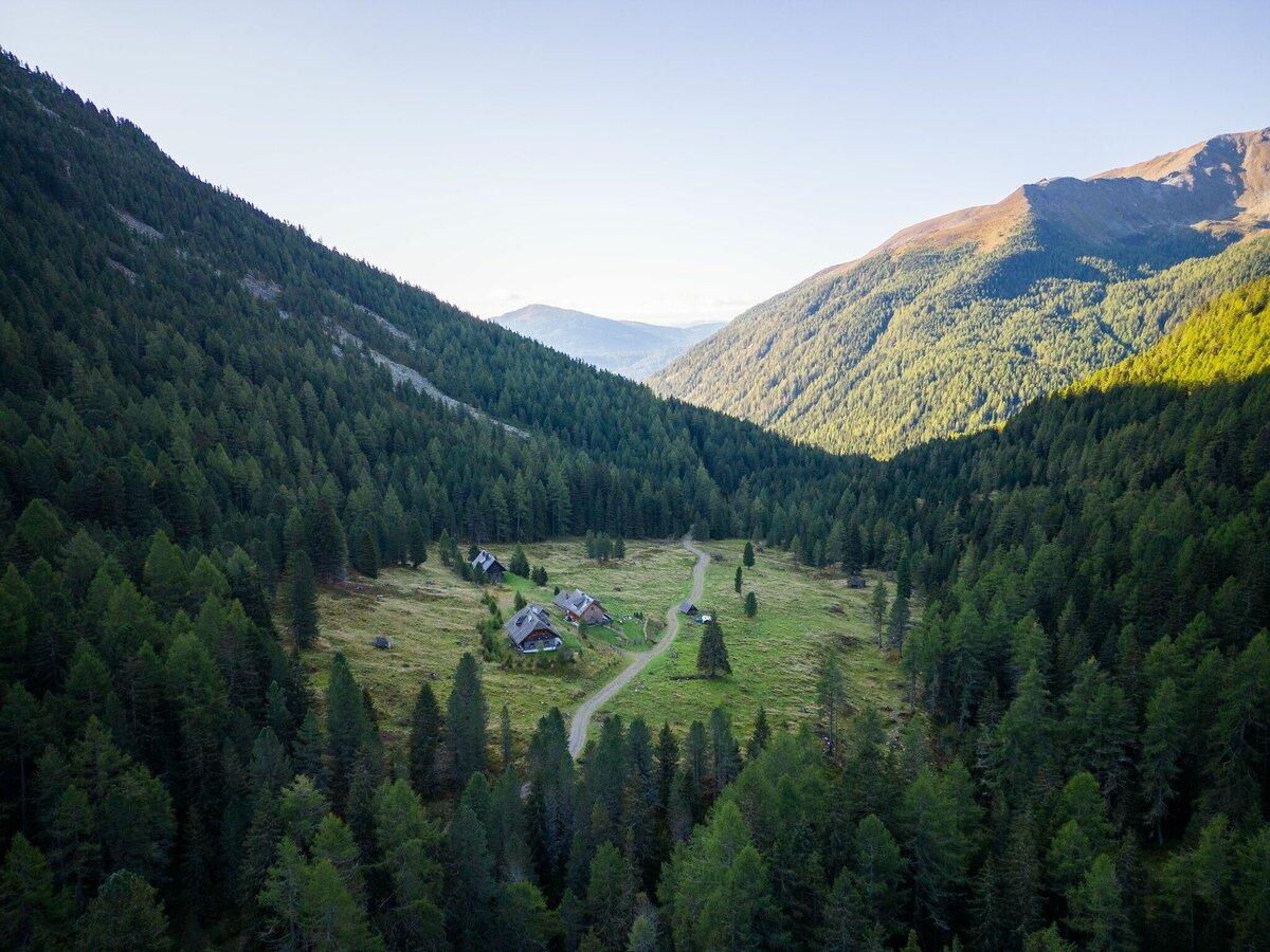
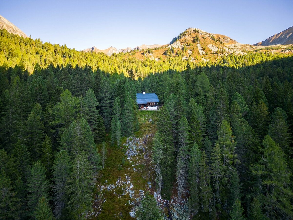


From the Breitlahnhütte we follow path no. 702 in direction Schwarzensee. Before we reach this lake, we turn left in the area of the Grafenalm. This path takes us past the “vordere Neualm” and the “innere Neualm”. At the wayside cross we turn right and hike steeply uphill to the Rantentörl. Above the Rantensee we cross the narrow path through the meadows of the Rantenalm to a small, crystal clear but nameless lake. Then it goes on across the Hinterkarscharte through and over boulders at the foot of Speikleiten to the Hubenbauertörl. We continue walking up and down until the last descent leads us to the beautiful arolla pine forests. The last 30 minutes of this day trip we walk uphill to the Rudolf Schober Hütte.
Branch off from the Ennstalbundesstraße B320 at Pruggern to Sölktäler. From Stein an der Enns to the Kleinsölktal until you reach the Breitlahnhütte (toll road).
The valley bus makes crossings in the Sölktäler Nature Park possible. Likewise, you can arrive comfortably by train and the Tälerbus will take you to your accommodation or the starting point of your hike. This bus runs during the Styrian summer vacations.
car park Breitlahnalm.
Changes in weather patterns, quick falls in temperature, thunderstorms, wind, fog and snow are some of the dangers that can be encountered on a hiking tour. Hosts of alpine huts and mountain refuges have a lot of experience in the mountains and can give good advice about weather and the trails. Poor equipment, overestimation of one's own capabilities, carelessness, poor personal constitution and/or wrong judgement can lead to critical situations. In case of thunderstorms: avoid summits, ridges and steel ropes.
- Plan your tour in advance, taking into account walking time, route length, altitude difference, danger spots and weather forecast.
- Together is much more beautiful and at the same time safer in the mountains. Do not go alone, if possible, and adapt the tour to the ability of your group.
- Let them know where you are going and when you want to be back. Also sign hut or summit books.
GPS data and orienteering
Available GPS data - just like hiking maps - is only a guidance for orientation and can never depict a trail exactly with all its details. Especially at dangerous spots it is essential to judge on site how to proceed.
In an emergency please call:
- 140 - for Alpine emergencies (all over Austria)
- 112 - European GSM emergency number
A well-packed backpack is helpful and especially when touring Alpine terrain a tuque, gloves, a windproof jacket and pants are standard equipment. Good, waterproof shoes, sun glasses, sun cream and sufficient beverages are essential too. Torch light, a map of the area, knie and a small first-aid kit should also be in the backpack.
Experienced hikers can take path #793 from the "Innere Neualm" and take the route via Predigtstuhl (2,543 m).
Hiking map 1:50,000 Schladming-Dachstein, available from the Schladming-Dachstein Tourism Association and its information offices.


